Destination
Preikestolen
The full brief on Norway's most-walked trail: timing, grade and crowds.
Open file →
Sixteen routes worth planning a trip around, four multi-day traverses, a worked four-day plan, the grading system that tells you what you are walking into, the hut network that makes long-distance walking possible, and the safety rules that keep the whole thing enjoyable.
Three things set walking here apart from the Alps or the Highlands. The first is access: under allemannsretten, the right to roam, you may walk and camp on uncultivated land regardless of who owns it. The second is infrastructure: Den Norske Turistforening (DNT), the national trekking association, maintains roughly 22,000 kilometres of marked trail and more than 550 huts, many of them unstaffed and opened with a single standard key. The third is exposure: there are almost no fences, no warning tape and very few barriers, including at 600-metre drops. The country assumes you are an adult.
The consequence is that the quality of a Norwegian hiking day depends far more on your own judgement than on signage. Weather turns in twenty minutes on the coast; a route graded "moderate" in dry conditions becomes serious in wet granite or old snow. Plan for that and this is some of the best walking in Europe.
Norwegian hiking trips fail at the planning stage far more often than on the hill. Huts fill, passes stay shut, shuttle buses do not start until late June, and the single cheap flight into Ålesund or Bodø sells out in February. This is the order we do it in.
| When | Do this | Why it matters |
|---|---|---|
| 6 months out | Pick the region, not the route. Book flights and the first and last night's bed. | Region decides your season; July beds in Lofoten and Jotunheimen go early |
| 4–5 months | Join DNT; book staffed huts on Besseggen, Jotunheimen and Rondane. | Membership pays for itself in three nights and unlocks member rates |
| 3 months | Book trains and any hire car. Start walking with a loaded pack once a week. | Minipris rail fares appear 90 days out; legs need eight weeks of notice |
| 6 weeks | Buy and wear in boots. Order maps. Collect the DNT key if any night is self-service. | New boots on day one of a traverse is the classic avoidable injury |
| 2 weeks | Check UT.no route status and hut opening dates; confirm shuttle buses and boats. | Opening dates move with the snow, not the calendar |
| 3 days | Read yr.no for the specific peak or hut, not the region. Draft a plan B at lower altitude. | A written alternative is what stops you pressing on into weather |
| The night before | Pack, charge, download offline maps, and tell someone your route and return time. | Offline maps and a named contact are the two cheapest safety measures there are |
| The morning of | Re-read the forecast, look at the sky, and be willing to swap the plan. | Norwegian weather invalidates yesterday's decision surprisingly often |
Since 2014 Norway has used a standardised four-colour grading system, applied on signposts, trailhead boards and the UT.no route database. It describes difficulty, not length — a green route can still be twenty kilometres long.
| Colour | Grade | What it means | Typical example |
|---|---|---|---|
| Green | Easy | Wide, firm surface, gentle gradient, no exposure. Suitable for most people including families. | Forest tracks in Nordmarka, Oslo |
| Blue | Moderate | Uneven terrain, some steep sections, up to ~600 m ascent. Boots recommended. | Preikestolen, Ryten |
| Red | Demanding | Steep, rough, possible scrambling and exposure. Route-finding required in poor visibility. | Romsdalseggen, Besseggen |
| Black | Expert | Serious exposure, scrambling, glacier or snowfield travel. Experience and often equipment needed. | Kjerag in early season, Store Skagastølstind |
Trails themselves are marked with a painted red T on rock, and above the tree line with cairns. If you have not seen a T or a cairn for ten minutes, stop and go back to the last one rather than pressing on.
Norwegian signposts quote times for a reasonably fit adult walking steadily with short breaks and no photography. They are not generous. If you stop for lunch, take pictures, or walk with children, add 30–50%. A useful planning formula is four kilometres per hour on level ground, plus one extra hour for every 600 metres of ascent, plus one extra hour for every 800 metres of steep descent on stone steps — that last term is the one visitors forget, and it is why Preikestolen and Reinebringen wreck quadriceps rather than lungs.
| Condition | Effect on time | Note |
|---|---|---|
| Wet granite or gneiss | +15–25% | Every step becomes deliberate; this is the commonest cause of overrun |
| Old snow patches on north slopes | +20–40% | Common until mid-July above 1,000 m |
| Boggy plateau without boardwalk | +20% | Detouring around wet ground adds distance you never planned |
| Cloud below summit level | +25% | Cairn-to-cairn navigation is slow and should be |
| Group of four or more | +15% | Breaks multiply; the slowest person sets the pace |
| Children aged 8–12 | +50–80% | Plan half the distance you would do alone |
Norwegian trails are rarely technical and frequently relentless. Almost every route on this page is a matter of climbing steadily for two to four hours and then descending the same height on uneven stone. The people who struggle are not the unfit ones; they are the ones who trained on flat ground and have never loaded their knees on a descent.
| Weeks out | Session | Target |
|---|---|---|
| 8 | Two walks of 60–90 minutes, any terrain | Establish the habit; break in footwear |
| 6 | One walk with 300 m of ascent, one hour of stairs or hill repeats | Get used to sustained climbing |
| 4 | One 3-hour walk with a 7 kg pack; add step-downs and calf raises twice weekly | Prepare the knees and ankles for descent |
| 2 | One 5-hour day with full pack and the boots you will actually wear | Find hotspots and strap problems before Norway does |
| 1 | Two easy walks, no new distance | Arrive fresh, not depleted |
For a hut-to-hut week the honest benchmark is this: can you walk six hours with a 9 kg pack on two consecutive days at home without your knees complaining on the second morning? If yes, Jotunheimen and Rondane are within reach. If not, do the same week as day walks from a single base and enjoy it more.
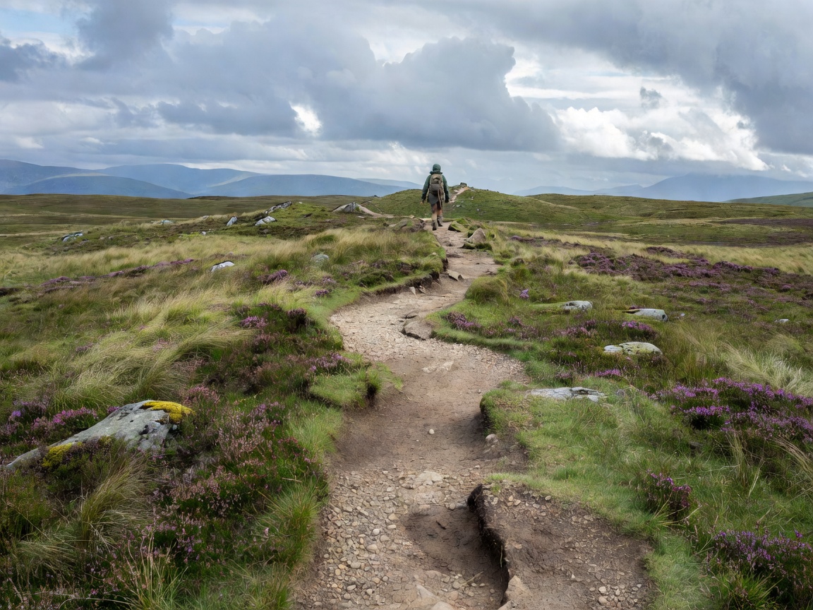
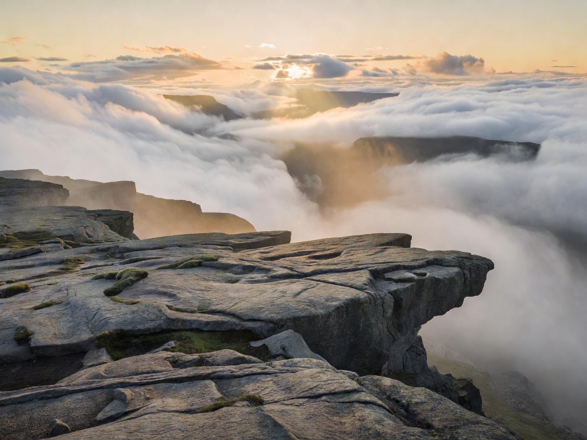
8 km return · 350 m ascent · 4–5 h · Blue. The most famous walk in Norway and, thanks to sherpa-built stone staircases, one of the most robust. A flat granite slab 604 m above Lysefjord with no railing whatsoever. Start before 07:00 in summer or take the 16:00 slot when the coaches have gone. Full brief in the Preikestolen file.
10 km return · 800 m ascent · 6–8 h · Red. Three steep chain-assisted climbs and three descents, ending at a boulder wedged in a chasm 984 m above the water. Season is short — roughly June to September — because the plateau holds snow and the Lysebotn road closes. Far quieter than Preikestolen and considerably harder.
10–13 km one way · 970 m ascent · 6–8 h · Red. A ridge traverse above Åndalsnes with the Trollveggen wall, Romsdalshorn and the Rauma valley below. Take the shuttle bus to Venjesdalen and walk back down into town. Some sections are exposed enough to be genuinely uncomfortable in wind; there is a marked lower alternative for the worst of it.
14 km one way · 1,100 m ascent · 6–8 h · Red. The classic Norwegian ridge walk, between green Gjende and blue-black Bessvatnet, 400 metres apart in height. Take the morning boat from Gjendesheim to Memurubu and walk back. Book the boat; it is the constraint on the whole day. Season roughly late June to mid-September.
5–10 km · 250–700 m ascent · 3–5 h · Blue/Red. An abandoned farm on a ledge 250 metres above the fjord, opposite the Seven Sisters. Either climb steeply from Homlong, or take a boat drop-off from Geiranger and walk back along the fjord ledge. One of the finest short hikes in the country — see the Geirangerfjord file.
4 km return · 450 m ascent · 2–3 h · Red. 1,972 sherpa-built stone steps straight up from Reine to a ridge looking down on the most photographed village in Norway. Short, relentless, and closed periodically for rockfall and maintenance — check the local status before you set off. Do not attempt it in ice.
9 km return · 543 m ascent · 4 h · Blue. Over a saddle to a roadless Atlantic beach, then up Ryten for the view straight down onto it. Boggy in the middle section; waterproof boots matter more than grip here. Superb between 21:00 and 01:00 under the midnight sun — see the midnight sun guide.
13 km return · 1,300 m ascent · 7–9 h · Red/Black. Northern Europe's highest summit at 2,469 m. The Juvasshytta route crosses a glacier and must be done roped with a guide; the Spiterstulen route avoids glacier travel but is a long, steep slog. Season is roughly late June to late September.
| Route | Region | Distance | Ascent | Grade | Season |
|---|---|---|---|---|---|
| Preikestolen | Rogaland | 8 km return | 350 m | Blue | Apr–Oct |
| Kjeragbolten | Rogaland | 10 km return | 800 m | Red | Jun–Sep |
| Romsdalseggen | Romsdal | 10–13 km | 970 m | Red | Late Jun–Sep |
| Besseggen | Jotunheimen | 14 km | 1,100 m | Red | Late Jun–mid Sep |
| Skageflå | Sunnmøre | 5–10 km | 250–700 m | Blue/Red | May–Oct |
| Reinebringen | Lofoten | 4 km return | 450 m | Red | Jun–Sep |
| Ryten / Kvalvika | Lofoten | 9 km return | 543 m | Blue | Jun–Sep |
| Galdhøpiggen | Jotunheimen | 13 km return | 1,300 m | Red/Black | Late Jun–Sep |
The famous eight absorb almost all the traffic. These are the walks our contributors return to, and several of them are better than the list above.
20–28 km return · 800–1,200 m ascent · 8–12 h · Red. A horizontal tongue of rock 700 m above Ringedalsvatnet. The full route from Skjeggedal is a genuine mountain day, not a photo opportunity, and the shuttle road to the higher P3 car park shortens it considerably. Season roughly mid-June to mid-September; outside that, a guide is required and the queue at the tongue disappears.
20 km one way · mostly descent · 6–7 h · Blue. The "Norwegian Grand Canyon", walked downhill from Østerbø to Vassbygdi through a gorge of birch, chained ledges and abandoned summer farms. Bus up, walk down, bus back to Flåm. Among the most rewarding valley walks in the country and, because it loses height rather than gaining it, accessible to walkers who dislike big climbs. See the Flåm file.
15 km one way · 500 m net ascent · 5–6 h · Blue/Red. A high plateau traverse from the top of one Bergen funicular to the top of the other, starting and ending inside a city of 290,000. Exposed to weather with no shelter for most of its length — Bergen mountain rescue is called out here every year for people who set off in trainers. Start early and check the forecast. Bergen file.
6 km return · 640 m ascent · 3–4 h · Red. A fin of rock rising straight from the Arctic sea, with a summit view along the Mefjord that rivals anything in Lofoten. Steep, grassy and slippery in rain. Best between mid-June and September, and extraordinary under the midnight sun.
9 km return to the hut · 500 m ascent · 4–5 h · Red. Chains, lakes and granite from Sørvågen up to a DNT hut in a bowl of peaks. A better introduction to Lofoten walking than Reinebringen, and far less crowded. Lofoten file.
17 km return · 1,100 m ascent · 7–8 h · Red. Norway's first national park and a landscape of pale scree domes rather than jagged peaks. Wild reindeer live here, so stay on the trail and check seasonal access notices. Reached by rail to Otta and bus to Mysusæter.
Two-day trek from Haukeliseter or Trondsbu · Red. A flat-topped 1,690 m monolith visible from half the plateau. The walk in is classic Hardangervidda: open, treeless, lake-strewn and utterly quiet. The final scramble to the top is short but airy, and the plateau demands proper navigation.
2–5 h guided · Black without a guide. Not a hike you do alone. Guided blue-ice walks run from late May to late September on an arm of mainland Europe's largest glacier, with crampons and harness supplied. It is the most accessible way to stand on ice in Norway and the only route on this page we would refuse to describe as self-guided.
| Route | Region | Distance | Ascent | Grade | Nearest base |
|---|---|---|---|---|---|
| Trolltunga | Hardanger | 20–28 km return | 800–1,200 m | Red | Odda / Tyssedal |
| Aurlandsdalen | Sogn | 20 km one way | Net descent | Blue | Flåm / Aurland |
| Vidden traverse | Vestland | 15 km one way | 500 m | Blue/Red | Bergen |
| Segla | Senja | 6 km return | 640 m | Red | Fjordgård |
| Munkebu | Lofoten | 9 km return | 500 m | Red | Sørvågen / Reine |
| Rondeslottet | Rondane | 17 km return | 1,100 m | Red | Mysusæter / Otta |
| Hårteigen | Hardangervidda | 2 days | Variable | Red | Haukeliseter |
| Nigardsbreen | Jostedalen | 2–5 h guided | Variable | Guided only | Gjerde, Jostedal |
Not every day has to be a summit. These are the two-to-three hour walks we use on travel days, on rest days, and when the cloud is sitting at 400 metres and the big route has been sensibly abandoned. None of them counts among the sixteen above, and all of them are worth an afternoon.
Norwegian domestic flights are frequent and, booked early, often cheaper than a long drive once tolls and ferries are counted. Choosing the right arrival airport removes an entire travel day from a short trip. These are the airports we actually use, and what each one puts within reach.
| Airport | Region unlocked | Trailheads within ~2 hours | Note |
|---|---|---|---|
| Stavanger (SVG) | Rogaland, Lysefjord | Preikestolen, Florli 4444, Månafossen | Longest hiking season in the country |
| Bergen (BGO) | Vestland, Hardanger | Vidden, Stoltzekleiven, Trolltunga (3 h) | Wettest base; always carry a shell |
| Ålesund (AES) | Sunnmøre | Skageflå (via Geiranger), Slogen, Saksa | One ferry usually involved |
| Molde (MOL) or rail to Åndalsnes | Romsdal | Romsdalseggen, Litlefjellet, Trollstigen paths | The Rauma Line is the nicer arrival |
| Oslo (OSL) | East, Jotunheimen, Rondane | Nordmarka; Gjendesheim and Otta 4 h by rail and bus | Best for hut-to-hut without a car |
| Leknes (LKN) / Svolvær (SVJ) | Lofoten | Reinebringen, Ryten, Munkebu, Festvågtind | Hire car essential; book months ahead |
| Tromsø (TOS) | Troms and Senja | Storsteinen, Tromsdalstinden; Segla 3 h | Short high season, long light |
| Bodø (BOO) | Nordland | Keiservarden, Rago approaches; Lofoten by ferry | End of the Nordland Line — see railways |
Day walks are where most visitors stop. The country opens up considerably when you carry a light pack, sleep in huts and walk for three or four days without returning to a road. Because the huts supply bedding, food and firewood, a Norwegian hut-to-hut pack is dramatically lighter than a camping pack — 7–9 kg is normal.
| Traverse | Days | Character | Huts en route | Season |
|---|---|---|---|---|
| Gjendesheim – Memurubu – Gjendebu, Jotunheimen | 3 | Besseggen plus two quieter high days above Gjende | Staffed, book ahead | Late Jun–mid Sep |
| Finse – Geiterygghytta – Kongshelleren – Flåm | 3–4 | Glacier edge, snow bridges, descent to the fjord | Staffed and self-service | Jul–early Sep |
| Haukeliseter – Hårteigen – Kinsarvik, Hardangervidda | 4–5 | Open plateau, reindeer country, big skies | Mostly self-service | Jul–mid Sep |
| Rondane north–south traverse | 3–4 | Scree domes, easy navigation, gentle gradients | Staffed | Late Jun–Sep |
| Moskenesøya crossings, Lofoten | 2–3 | Sea-level starts, steep granite, camping required | Munkebu only | Jul–early Sep |
Finse deserves a specific mention: it has no road access at all, sits at 1,222 m on the Bergen Line, and is therefore the only trailhead in Europe you reach by express train and leave on foot. It is the best possible start to a first Norwegian traverse.
DNT huts are what turn Norwegian hiking from a series of day walks into a way of travelling. They come in three kinds:
Self-service and unstaffed huts open with the standard DNT key, deposited for in advance from a DNT office or hut. Membership costs roughly NOK 800 a year and pays for itself in about three nights. Popular staffed huts on Besseggen and in Jotunheimen should be booked; elsewhere, a DNT hut will never turn you away — if it is full, mattresses go on the floor.
The rule inside a self-service hut is simple and absolute: leave it better than you found it. Dry wood stacked, water carried in, dishes done, logbook signed. The system works because nobody has ever needed to be told twice.
Abstract advice only goes so far. This is a real, bookable four-day introduction to hut-to-hut walking, reachable from Oslo by public transport, with one famous day and three quiet ones. Grade: red, with a blue alternative on day two.
Train to Otta on the Dovre Line, then the Valdresekspressen bus to Gjendesheim at the eastern end of lake Gjende. Arrive mid-afternoon, buy the boat ticket for tomorrow morning at the hut desk, eat early. If the evening is clear, walk twenty minutes up the Besseggen path for the view back down the lake and then come straight back.
Take the 07:45 boat up the lake to Memurubu and walk back along the ridge — 14 km, 1,100 m of ascent, 6 to 8 hours, with the famous view of green Gjende against black Bessvatnet arriving three hours in. Or reverse it: sleep at Memurubu and walk the ridge westbound the next morning with the light behind you and almost nobody else on it. That is the version we prefer, and it is why this itinerary puts you at Memurubu tonight.
Six hours west along the high ground above the lake, over a 1,500 m shoulder and down a steep final descent to Gjendebu, the oldest DNT hut in Jotunheimen. You will meet perhaps ten people. Swim in the lake if you are brave; it is glacier-fed and the swim lasts about nine seconds.
Take the morning boat the full length of Gjende back to Gjendesheim — an hour on the water looking up at everything you walked — then the bus to Otta and the train south. Home in Oslo by evening, or continue north on the Dovre Line to Trondheim.
Total: roughly 30 km of walking, two hut nights, two boat legs and no navigation harder than following cairns. Book Memurubu and Gjendebu in February for a July trip; both fill completely in the last two weeks of the month.
If you are not using huts, there is more choice of shelter here than most visitors realise, and several options cost nothing at all.
Whatever you sleep in, pick the site late in the day, pitch away from the trail and out of sight of cabins, and be gone early. A three-season sleeping bag rated to around 0 °C comfort is right for June to September almost anywhere in the country; above 1,200 m, expect frost in any month.
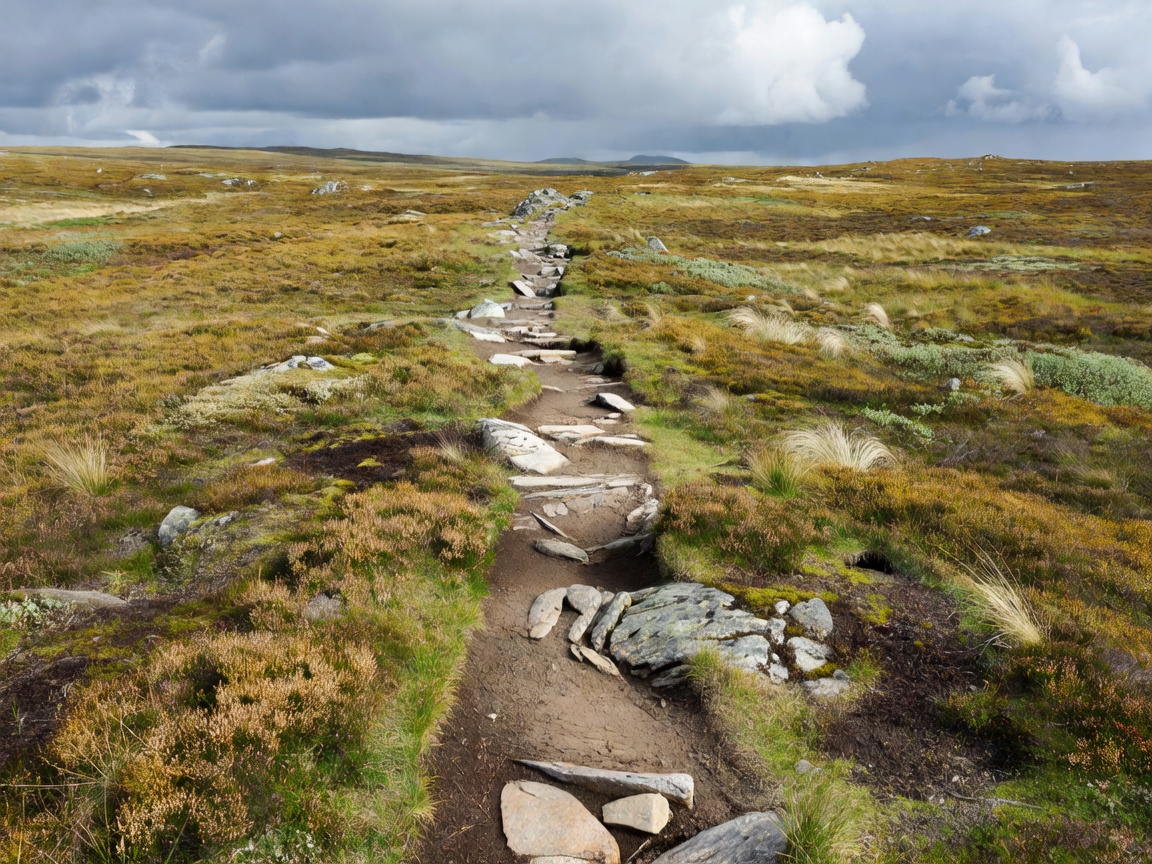
| Period | Conditions | Verdict |
|---|---|---|
| April – May | Coastal low routes clear; mountains still under snow | Preikestolen and fjord-level walks only |
| Mid-June | High passes clearing, huts opening, long daylight | Excellent, but check for snow patches on north slopes |
| July – mid-August | Everything open, warmest, busiest, mosquitoes inland | Best conditions, worst crowds |
| Late August – September | Berries, autumn colour, firm ground, cool air | Our pick for the mountains |
| October | First snow above 1,000 m, huts closing, short days | Lower routes only, carry a head torch |
| November – March | Winter conditions | Microspikes or skis, avalanche awareness, or a guide |
The Meteorological Institute's yr.no is genuinely excellent and forecasts to a named peak or hut rather than a region. Learning to read three things from it will change how your week goes.
| Air temp | Wind 5 m/s | Wind 10 m/s | Wind 15 m/s |
|---|---|---|---|
| 10 °C | Feels 8 °C | Feels 6 °C | Feels 5 °C |
| 5 °C | Feels 2 °C | Feels 0 °C | Feels −2 °C |
| 0 °C | Feels −4 °C | Feels −7 °C | Feels −9 °C |
| −5 °C | Feels −10 °C | Feels −13 °C | Feels −16 °C |
Two local patterns are worth knowing. On the west coast, weather arrives from the Atlantic and the morning is very often the best part of the day — start early rather than waiting for it to "clear up". Inland on the plateaus, afternoon convective cloud builds over the high ground while the valley stays sunny, which is why Hardangervidda walkers set off at six.
Which part of the country you walk in matters more than which individual route you pick. The rock, the weather and the length of the season all change as you move north and inland.
| Region | Terrain | Season | Best for |
|---|---|---|---|
| Rogaland (Lysefjord) | Polished granite, fjord edges, moderate altitude | Apr–Oct, longest in the country | Famous viewpoints, first-time visitors |
| Vestland (Bergen, Sogn, Hardanger) | Steep fjord sides, plateau above, heavy rainfall | Jun–Oct | Valley walks, Trolltunga, glacier access |
| Jotunheimen & Rondane | High alpine, glaciers, 2,000 m peaks | Late Jun–mid Sep | Hut-to-hut traverses, summits |
| Hardangervidda | Europe's largest mountain plateau, open and treeless | Jul–mid Sep | Long, flat, remote multi-day walking |
| Romsdal & Sunnmøre | Vertical rock, ridges, deep valleys | Late Jun–Sep | Exposed ridge days, cliff farms |
| Lofoten & Senja | Sea-level starts to sharp granite summits | Jun–Sep | Short, steep, spectacular; midnight sun walking |
| Troms & Finnmark | Rounded Arctic fells, tundra, few trees | Jul–early Sep | Solitude, reindeer country, Sámi landscapes |
| Oslomarka | Forest, lakes, gravel tracks | Year-round | Easy days straight off the metro |
Norway is expensive, but trail food does not have to be. A walking day burns roughly 3,000–4,500 kcal depending on pack weight and ascent, and the supermarket chains — Rema 1000, Kiwi, Coop Extra — stock everything you need at a fraction of restaurant prices. Buy in the last town before the trailhead; village shops in the mountains are small and close early.
| Item | Why it works here | Rough cost |
|---|---|---|
| Knekkebrød (crispbread) | Does not crush, does not spoil, endlessly available | NOK 25–40 per pack |
| Brunost or hard cheese | Keeps for days unrefrigerated; high energy density | NOK 50–90 |
| Kaviar tube / mackerel in tomato | The classic Norwegian trail topping, no packaging waste issues | NOK 30–45 |
| Freeze-dried meal (Real Turmat) | Sold in every outdoor shop and many petrol stations | NOK 90–130 |
| Kvikk Lunsj | The national hiking chocolate; the wrapper prints the mountain code | NOK 18–25 |
| Hut pantry tin | Self-service huts stock stew, fish balls, pasta, coffee, jam | Logged and billed after |
Two habits worth adopting: eat something small every ninety minutes rather than one large stop, and fill your bottle from running water above habitation rather than carrying three litres from the car. Tap and stream water in Norway is excellent and free, and every litre you do not carry is a kilo off your knees.
This is the least glamorous section on the page and the one that most affects whether a multi-day walk is pleasant.
Phone navigation works well in Norway and is normal practice, but treat it as the primary tool and carry paper as the backup, not the other way round.
DNT and the Red Cross publish fjellvettreglene, nine rules that every Norwegian child learns. Abbreviated:
Check yr.no for weather, varsom.no for avalanche and flood warnings, and ut.no for route status and hut opening dates. Emergency numbers: 112 police (which coordinates mountain rescue), 113 ambulance, 110 fire. Rescue is free at the point of use, but insurance covering repatriation and mountain activities is strongly advised — see the travel FAQ.
The rescue itself is free. Everything that follows it is not, and this is where visitors are caught out.
Norwegian trails do not close in winter; they simply become a different discipline. From roughly November to April the lower fjord routes need microspikes, the plateau routes need skis, and everything steep needs avalanche judgement. The five-level European avalanche scale is published daily on varsom.no and is worth understanding even if you only plan to walk below the snow line.
| Level | Danger | What it means for a walker |
|---|---|---|
| 1 | Low | Generally safe; still avoid very steep isolated slopes |
| 2 | Moderate | Favourable conditions with careful route choice |
| 3 | Considerable | Most accidents happen here. Avoid avalanche terrain without training |
| 4 | High | Stay in valleys and on flat, low-angle ground |
| 5 | Very high | Do not go into the mountains |
Norwegians do not walk across the plateau in winter — they ski across it, and the DNT hut network runs all year with marked winter routes flagged by birch branches rather than cairns. If you are comfortable on cross-country skis, the Hardangervidda and Rondane hut chains in March and April offer the emptiest, brightest and arguably finest travelling in the country. Easter is the exception: the entire nation is out there, and the huts are full. Go the week before or the fortnight after.
The same routes work at pace, with two caveats. First, the stone staircases that make Preikestolen and Reinebringen durable also make them unforgiving to run down; most of the ascent time you save is given back on the descent. Second, running kit is not mountain kit — carry the same shell, hat, gloves and food you would walk with, in a vest, because a twisted ankle at 1,200 m turns a 90-minute outing into a four-hour wait.
Norwegian families hike constantly, and the country is set up for it. The limiting factor is almost never the child's fitness but the absence of barriers at the top.
| Item | Typical | Notes |
|---|---|---|
| DNT membership, adult | ≈ NOK 800 per year | Pays for itself in about three hut nights |
| Staffed hut, member | NOK 450–800 per night | Bed only; dinner and breakfast extra |
| Self-service hut, member | NOK 300–450 per night | Plus what you take from the pantry |
| Hut dinner / breakfast | NOK 400 / 200 | Three courses at staffed huts |
| Trailhead parking | NOK 200–300 per day | Preikestolen, Trolltunga, Kjerag |
| Shuttle bus or boat | NOK 150–400 | Gjende boat, Romsdalseggen shuttle, Skageflå drop-off |
| Guided glacier walk | NOK 700–1,200 | Equipment included |
| Wild camping | Free | Under allemannsretten, with its obligations |
A self-supported week on the plateau, camping and cooking, can run under NOK 2,000 excluding travel. The same week hut to hut with cooked dinners is closer to NOK 7,000. Both are good value by Norwegian standards — see food and culture for what a restaurant week costs instead.
Flying with a stove, gas canister or ice axe is awkward, and buying a full kit for one trip is worse. Norway has an unusually good rental culture, partly because the country's own outdoor participation is so high.
| Item | Rent or buy? | Rough cost | Where |
|---|---|---|---|
| Gas canister (screw-thread) | Buy on arrival — cannot fly with it | NOK 60–110 | Petrol stations, supermarkets, outdoor shops |
| Stove | Rent or borrow | NOK 50–100 per day | DNT rental desks, city outdoor shops |
| Tent, 2-person | Rent | NOK 150–300 per day | DNT, BUA (free community rental), local shops |
| Sleeping bag and liner | Rent bag, buy liner | NOK 100–200 per day / NOK 250 liner | DNT, outdoor retailers |
| Microspikes | Buy — cheap and reusable | NOK 300–600 | XXL, Sport 1, Intersport |
| Crampons, axe, harness | Included with guided glacier trips | In the tour price | Jostedalen, Folgefonna operators |
| Trekking poles | Buy or rent | NOK 400+ / NOK 60 per day | Everywhere |
| Paper maps | Buy locally | NOK 150–250 per sheet | Tourist offices, bookshops, DNT |
BUA is worth knowing about: a nationwide network of municipal libraries of outdoor equipment, free to borrow from, intended for residents but in practice open to anyone who turns up with ID in most towns. It is the cheapest tent in Norway.
Most of Norway's marked summer trails need no guide at all, and paying for one on Preikestolen is money spent on company rather than safety. There are four situations where we would always take one.
| Situation | Guide? | Why |
|---|---|---|
| Marked summer trail, blue or red | No | Well signed, well used, obvious in daylight |
| Any glacier, including Galdhøpiggen via Juvasshytta | Yes, always | Crevasses under snow bridges; rope work is not optional |
| Trolltunga, Kjerag or Reinebringen outside season | Yes | Ice on exposed ground; several routes legally require it in winter |
| First multi-day traverse, no navigation experience | Worth it | You learn hut etiquette and cairn navigation in three days and never need one again |
| Black-graded scrambles (Store Skagastølstind and similar) | Yes | Roped climbing terrain wearing a hiking label |
Signposts, hut notices and the UT.no database are frequently in Norwegian only. These twenty words cover almost everything you will meet on a board at a trailhead.
| Norwegian | English | Where you see it |
|---|---|---|
| Fjell | Mountain | Everywhere |
| Tind / topp | Peak / summit | Signposts |
| Egg | Ridge | Besseggen, Romsdalseggen |
| Dal | Valley | Aurlandsdalen, Isterdalen |
| Vatn / vann | Lake | Map names |
| Foss | Waterfall | Kjosfossen, Stigfossen |
| Bre | Glacier | Nigardsbreen |
| Sti | Path | Trailhead boards |
| Løype | Marked route or ski track | Winter signage |
| Varde | Cairn | Above the tree line |
| Hytte | Cabin or hut | DNT network |
| Betjent / selvbetjent / ubetjent | Staffed / self-service / unstaffed | Hut listings |
| Seter | Summer mountain farm | Valley routes |
| Myr | Bog, marsh | Plateau walking |
| Ur | Scree, boulder field | Rondane, Jotunheimen |
| Bratt | Steep | Warning signs |
| Stengt | Closed | Road and trail notices |
| Rasfare | Rockfall or avalanche danger | Roadside and trailhead |
| Bandtvang | Dogs must be leashed | 1 April – 20 August |
| Snuhjørne / snu i tide | Turnaround point / turn back in time | Mountain code |
More is possible than people assume. Preikestolen has a direct seasonal bus from Stavanger; Romsdalseggen has a shuttle from Åndalsnes railway station; Besseggen is served by bus to Gjendesheim plus the Gjende boat; Skageflå is reached by boat from Geiranger. Finse, Myrdal and Haugastøl are railway stations with no road at all, which makes the Hardangervidda the most car-free mountain range in Europe. Lofoten is the weak point — buses run a handful of times a day and will not deliver you to a trailhead. Details on connections are in the transport guide, and the rail approaches in scenic railways.
Norwegian hiking has a calendar, and knowing it helps in both directions: some weeks are worth catching, and one of them is worth avoiding entirely.
| When | What | Where | Why it matters |
|---|---|---|---|
| Easter week | Påskefjell — the national ski-touring holiday | Hardangervidda, Rondane, Jotunheimen | Every hut is full; go the week before or after |
| Mid-May | Mountain pass and toll road openings | Trollstigen, Aurlandsfjellet, Dalsnibba | Snow walls, empty roads — see the Trollstigen dispatch |
| Late June | DNT hut opening weekend | Nationwide | Staffed huts start; high routes still hold snow |
| Late June – July | Midnight sun walking | Lofoten, Senja, Troms | Trails empty between 21:00 and 02:00 |
| Mid-July | Fellesferie, the Norwegian holiday fortnight | Everywhere | Domestic crowds peak alongside foreign ones |
| Early September | Stoltzekleiven Opp | Bergen | 908 steps, thousands of runners, open entry |
| September | Berry and mushroom season | Inland forests and plateaus | Blueberries and cloudberries are free to pick |
| Late September | Autumn colour and first aurora | Rondane, Jotunheimen, Troms | Firm ground by day, lights by night |
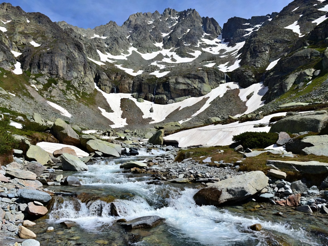
Norwegian trails carry far more traffic than they did a decade ago, and the damage is visible: braided paths across alpine meadow, cairns built for photographs that mislead walkers in cloud, and human waste within sight of popular summits. The rules are short.
Every route on this page has been walked by a contributor, most of them more than once and in more than one season. Times quoted are our own, measured door to door including stops, then sanity-checked against the DNT signpost figures and the UT.no database. Grades follow the national four-colour system rather than an invented house scale, because the colour on our page should match the colour on the signpost you are standing in front of.
Where conditions change — a closure on Reinebringen, a new shuttle bus at Romsdalseggen, a hut that has moved from staffed to self-service — we update the page and note substantive corrections at the foot of it. If you walk one of these and find it materially different, tell us; roughly a fifth of the detail here arrived that way. Our wider standards are set out in About the publication.
The full brief on Norway's most-walked trail: timing, grade and crowds.
Open file →