Home / Destinations / Preikestolen
File 09 · Lysefjord · 58.9864° N, 6.1904° EPreikestolen
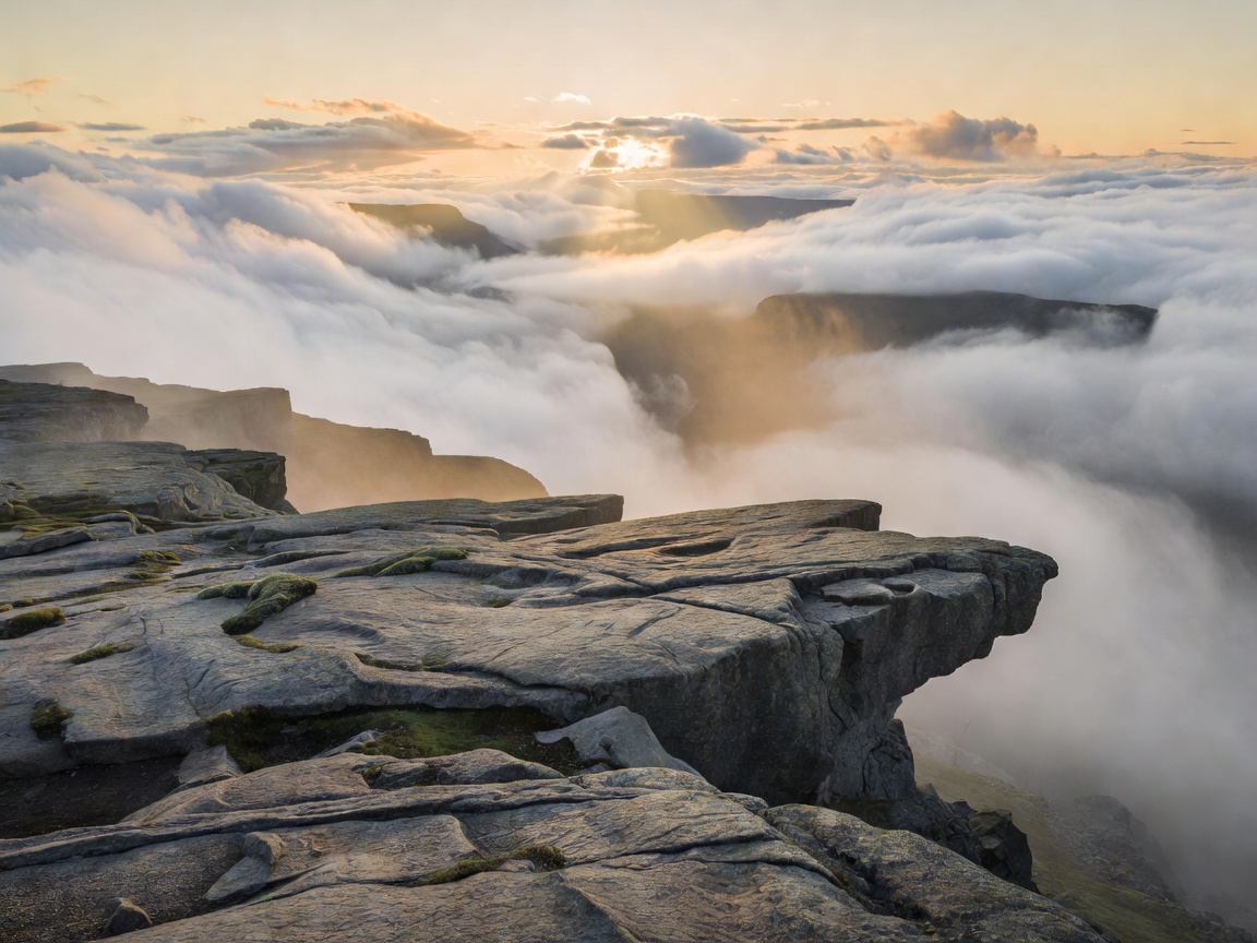
A 25 by 25 metre slab of granite with a sheer 604-metre drop into Lysefjord, and no railing. Around 300,000 people walk to it each year.
Home / Destinations / Preikestolen
File 09 · Lysefjord · 58.9864° N, 6.1904° EA 25 by 25 metre slab of granite with a sheer 604-metre drop into Lysefjord, and no railing. Around 300,000 people walk to it each year.
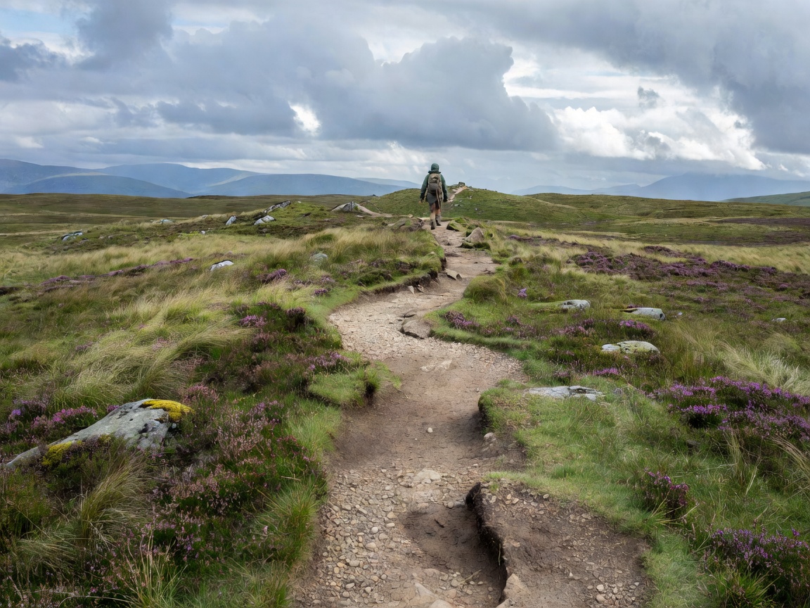
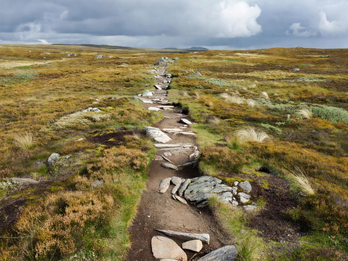
The trail starts at Preikestolen Fjellstue (270 m) and gains most of its height in the first two kilometres. Nepalese sherpa crews rebuilt large sections between 2013 and 2019 into stone staircases, which makes it durable but not easy — the steps are tall and uneven, and descending them tires quads more than the climb does. Between the two steep sections the path crosses a boggy plateau on boardwalk, then contours along a rock shelf above the fjord for the final kilometre.
There is no fence at the top and no warning tape. The plateau is broad enough to feel safe in dry weather, and genuinely dangerous in wind or ice. Sit down before you look over; almost everyone does.
| Departure time | Conditions | Verdict |
|---|---|---|
| 05:00–06:30 | Sunrise light, near-empty trail, cold | Best experience by a distance |
| 08:00–10:00 | Building traffic, all facilities open | Good compromise |
| 11:00–14:00 | Peak congestion, queues for photographs | Avoid in July–August |
| 16:00–18:00 | Emptying out, warm rock, good light | Excellent in June–July with long daylight |
Boots or trail shoes with genuine grip; the granite is slick when wet and there is no alternative surface. A windproof layer, one and a half litres of water, and food — the café at the trailhead closes early in shoulder season. Between November and April the route requires microspikes and winter experience, and the Norwegian Trekking Association recommends going with a guide. Mobile coverage is patchy on the plateau but generally available at the top.
The single most common mistake is treating Preikestolen as a photo stop rather than a mountain walk. It is 604 metres above a fjord in a maritime climate. Weather changes in twenty minutes.
Kjeragbolten (10 km, 800 m ascent, June–September) is harder and quieter, with the famous boulder wedged in a chasm at 984 m. Florli 4444 is the world's longest wooden staircase, 4,444 steps beside a hydro pipeline on Lysefjord. Both are covered in our hiking guide.