Dispatch
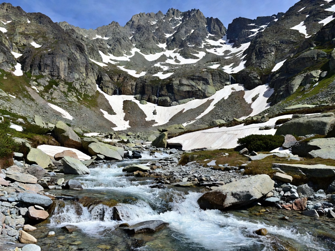
Trollstigen in opening week
Eleven hairpins, snow walls and the case for driving it before June.
Read dispatch →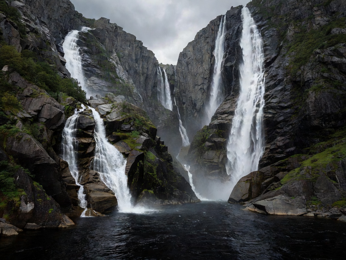
Home / Destinations / Geirangerfjord
File 03 · Sunnmøre · UNESCO · 62.1008° N, 7.2056° EFifteen kilometres of sheer rock, abandoned cliff farms and waterfalls that fall 250 metres straight into the water. Listed by UNESCO in 2005 and still not exaggerated.
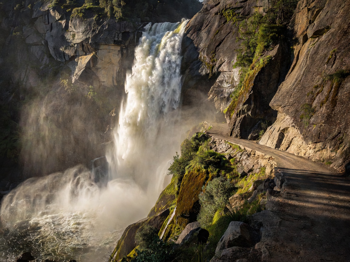
Geirangerfjord is a branch of Storfjorden, reached by three dramatic approaches. From the north, Trollstigen climbs eleven hairpins from Åndalsnes and then drops over the Ørnevegen ("Eagle Road") with its eleven more bends into Geiranger village. From the south, Route 63 climbs to Dalsnibba at 1,476 metres, where the whole fjord appears below you in a single frame. From the west, the Hellesylt–Geiranger car ferry sails the full length of the fjord in about an hour.
The village itself is small and, in July, overloaded — up to five cruise ships a day. The fjord is not. Move ten minutes out in any direction and you have it to yourself.
The Seven Sisters (De Syv Søstrene) is a 250 m multi-stranded fall on the north wall; directly opposite, The Suitor (Friaren) is said to be courting them without success. Between them sits Bridal Veil (Brudesløret). Above the water are the abandoned farms — Skageflå, Knivsflå and Blomberg — perched on ledges 250 metres up, farmed until the early 20th century with children reportedly roped to boulders to stop them falling.
Skageflå is the one you can reach: a steep 90-minute climb from Homlong, or a boat drop-off from Geiranger followed by a 5 km walk back along the fjord ledge. It is one of the finest short hikes in Norway and detailed in our hiking guide.
| Option | Duration | Typical cost | Notes |
|---|---|---|---|
| Hellesylt–Geiranger car ferry | 1 h | from NOK 250 (foot passenger) | Transport that doubles as a cruise; roughly 4–8 sailings daily in summer |
| Sightseeing fjord cruise | 1 h 30 | NOK 400–500 | Commentary, closer approach to the waterfalls |
| Kayak rental | 2 h – full day | from NOK 450 | Leave early; cruise-ship wake makes afternoons choppy |
| RIB safari | 1 h 15 | NOK 700–900 | Fast, cold, excellent for photography |
Trollstigen and the Dalsnibba road are usually closed by snow until mid-to-late May and can shut again from mid-October. Waterfall volume peaks in June. Cruise traffic peaks in July and early August. The best compromise is the first two weeks of June or the second half of September, when the roads are open, the light is long and the village is calm. Avoid arriving in Geiranger between 10:00 and 15:00 in high summer if you can.
Eleven hairpins, snow walls and the case for driving it before June.
Read dispatch →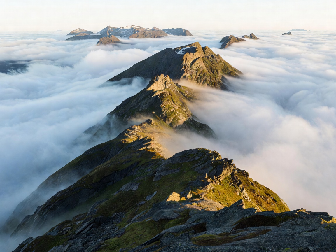
A realistic loop including Geiranger, Trollstigen and Ålesund.
Open itinerary →